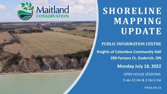
Maitland Valley Conservation Authority Open House- Shoreline Mapping Update
Funded by the municipalities in the MVCA watershed that border on Lake Huron, MVCA is now in the second year of a three-year project to update the erosion-line estimates using ultra-high-resolution LiDAR mapping of the Lake Huron shoreline.
There will be two open-house sessions on July 18 to provide all interested parties with information on the project.